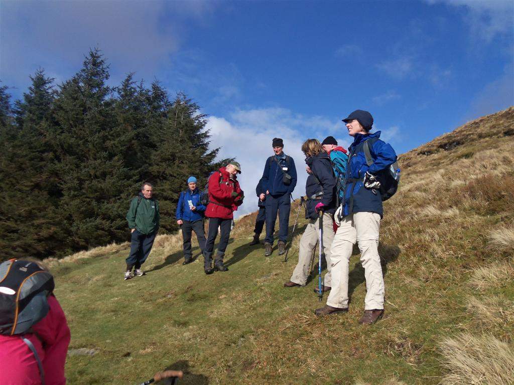
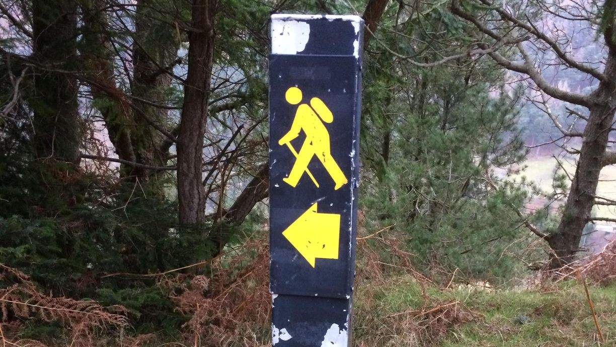
The Wicklow Way
This famous walk is such that it does not have to walked in one marathon session, but instead can be broken into 'bite' sized pieces for the average walker. Below are examples of walks that we can provide transport for, we can collect and return solo walkers or large groups to Dublin airport, train stations and all accommodations and points along the 'Way',
Walking North to South (Dublin to Clonegal)
Glendalough to Glenmalure - 16km (10 miles)
Glenmalure to Iron Bridge - 14 km (9 miles)
Iron Bridge to Tinahely - 21 km (13 miles)
Tinahely to Clonegal - 19km (12 miles)
Walking South to North (Clonegal to Dublin)
Clonegal to Tinahely - 19km (12 miles)
Tinahely to Iron Bridge - 21 km (13 miles)
Iron Bridge to Glenmalure - 14 km (9 miles)
Glenmalure to Glendalough - 16 km (10 miles)
Glendalough - Oldbridge - 10 km (6 miles)